
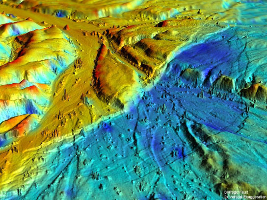
Gesch, D. (2005). Topography-based analysis of hurricane katrina inundation of new orleans. Science and Storms:the USGS Response to the Hurricanes of 2005, 53-56.
https://lms.southwestern.edu/file.php/5760/Literature/USGS-2005-Katrina.pdf
During Katrina, aerial pictures of flood areas were not possible yet. Instead, U.S. Geological Survey (USGS) Office of Surface Water used a measure of the water level on Lake Pontchartrain, assuming the flood had leveled out, then compared it to lidar data collected a few years before.

This combination of data systems produced inundation estimates of depth and volume of the flood that allows for a "history of flooding and water removal" to be created. The long and the short of it is, with this information, damages from future floods can be lessened. The effects on certain buildings would be understood, allowing for either fortification or restructuring. And in city planning this would be useful to know where certain measures are needed to improve the infrastructure of the city.
So, essentially, the difference between choosing this home for a likely flood zone or...

choosing this. Which one would be safer? Notice the flood lines halfway up the windows, before choosing.

Another benefit is the experience and ability gained through this technique that will allow experts to provide timely inundation maps for emergency response purposes.
This seems like an excellent way to study where floods are most destructive and prepare for it. I don't know how useful this is for city planning when the city is already intricately structured, but this would certainly be helpful when looking at building in a new area.
ReplyDeleteIt could be useful in building flood control infrastructure like emergency pumps for flood, or flood response centers.
DeleteThis is a great article and I hope we see this method being used more frequently. It could save lives and a lot of property damage.
ReplyDeleteLiDAR is becoming more popular and the USGS is developing these DEMs across the US. So in the future there costal regions will benifit greatly from high resolution hydrological modeling.
DeleteCan you imagine the common beach house being the standard for neighborhoods in Southern Louisiana? Probably not out of the question. I mean, it's just a box on stilts. I wonder how much it would cost collectively and over time to rebuild houses in this way as opposed to repairs made on the ground level model.
ReplyDeleteI wonder also what it would do the the cultural fabric of the community. If all the houses at up on stilts it could really change the way these "shotgun" houses look in the neighborhood.
Delete