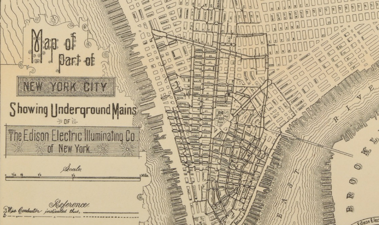
This paper, Mapping History Using Geographic Information Systems, written by Public Historian John Knoerl, discusses at length the role historical maps play in tracing change over time. That is, when using GIS, Knoerl discusses the opportunity to layer old maps over new ones in order to tangibly trace history. Primarily, this is a topic of discussion because it is a very simple way to show history to people who have no desire to actually read a historical text. Finally, Knoerl establishes the relationship between GIS and historical preservation, in the suggestion that mapping immortalizes landscape.
Knoerl, J. (1991). Mapping History Using Geographic Information Systems. The Public Historian,13(3), 97-108. doi:10.2307/3378555
I was thinking the same thing Avery. Georeferencing is a great way to view how the area has changed over time. I would like to try this with drawn maps such as these.

Awesome to see an article about the work we are doing in class! This makes me think about how our current maps will be georeferenced in the future!
ReplyDeleteReally cool way to utilize GIS. In a lot of ways these old maps are better than photographs. You can clearly see where things were.
ReplyDeleteI was thinking the same thing Avery. Georeferencing is a great way to view how the area has changed over time. I would like to try this with drawn maps such as these.
ReplyDeleteThis is really interesting. It would be cool to observe and compare the biases of old maps versus new ones.
ReplyDelete